About this image
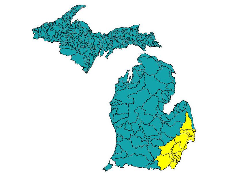
- Identification
- Lampsilis fasciola
- Contributors
-
Renee Sherman Mulcrone
illustrator copyright holder - Subjects
Conditions of use
 This work is licensed under a
Creative Commons Attribution-Noncommercial-Share Alike 3.0 Unported License
.
This work is licensed under a
Creative Commons Attribution-Noncommercial-Share Alike 3.0 Unported License
.
Credit the Photographer
The Animal Diversity Web's use of this image is licensed by under the Creative Commons Attribution-Noncommercial-Share Alike 3.0 Unported License ; use of the image must credit the photographer:
Photo by . License: Creative Commons Attribution-Noncommercial-Share Alike 3.0 Unported License.